Based on the Miller geographical projection, this set of activities is ideal for helping introduce your children and students to the world and the various continents, and oceans. Includes longitude and latitude lines with labels of all the major lines such as the:
- Prime Meridian
- International Date Line
- Arctic Circle
- Tropic of Cancer
- Equator
- Tropic of Capricorn
- and Antarctic Circle.
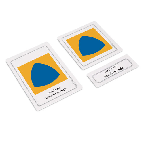
Printed on flexible vinyl this giant map measures 40" across by 30" high and doesn't require lamination. This complete set includes the complete three part nomenclature for lower elementary with pictures, labels, all of the control charts, and booklets on the continents and oceans of the world.
Ideal for use in geographic education, and for helping students understand maps, identify biomes, and other physical features of the earth.


